Summary
Historical motion graphics for a WWII documentary, combining parallax animation and animated war maps with 3D elements.
Client
Production
Scope
Map Animation
Parallax Animation
Historical Content
Related
Motion Graphics
Location
Kavala, Greece
Year
2024
The Challenge
The series presented detailed narratives from the frontlines of air warfare, spanning multiple theaters of conflict. These stories required clarity, geographical context, and a sense of momentum to support the voiceover and archival footage.
The creative challenge was twofold: to breathe life into historical photographs using parallax animation, and to visualize complex military movements through animated maps. Both elements needed to remain clear and informative, without overwhelming the tone of the documentary.
The Client
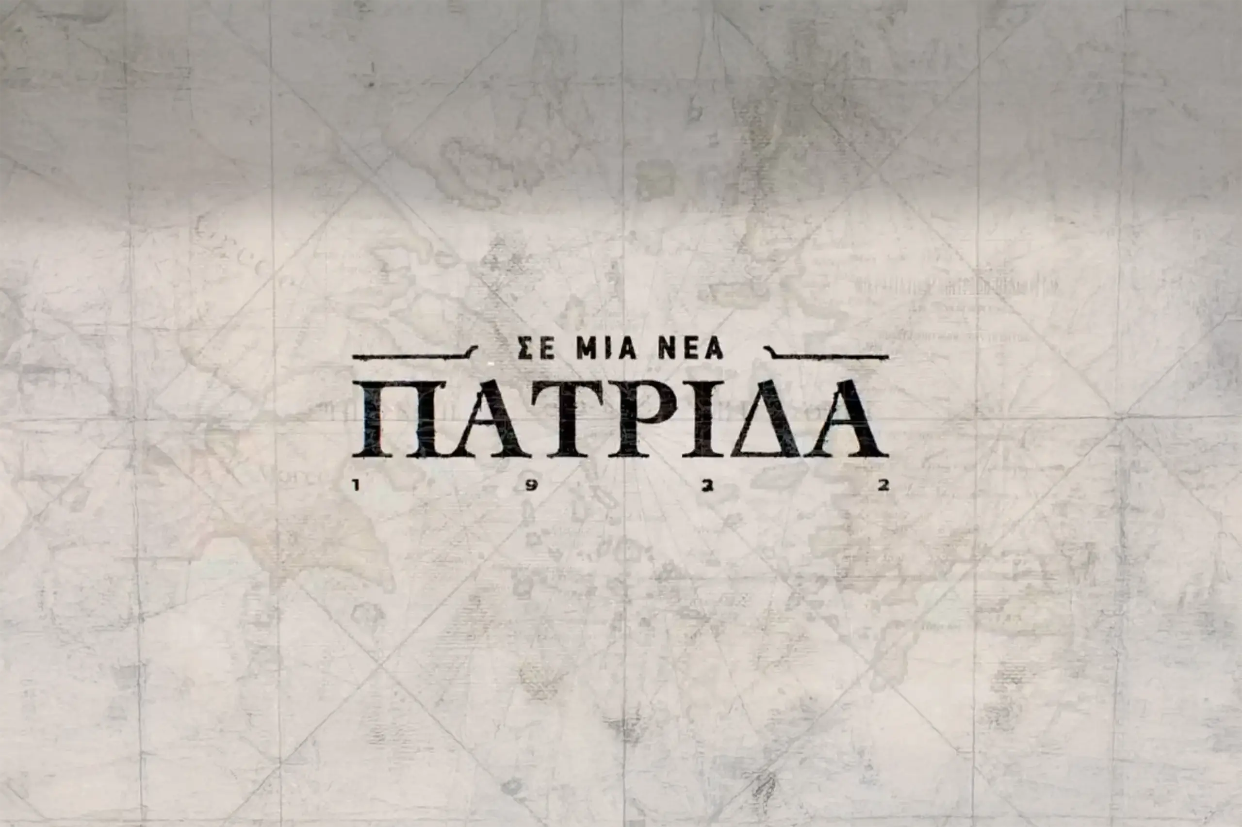
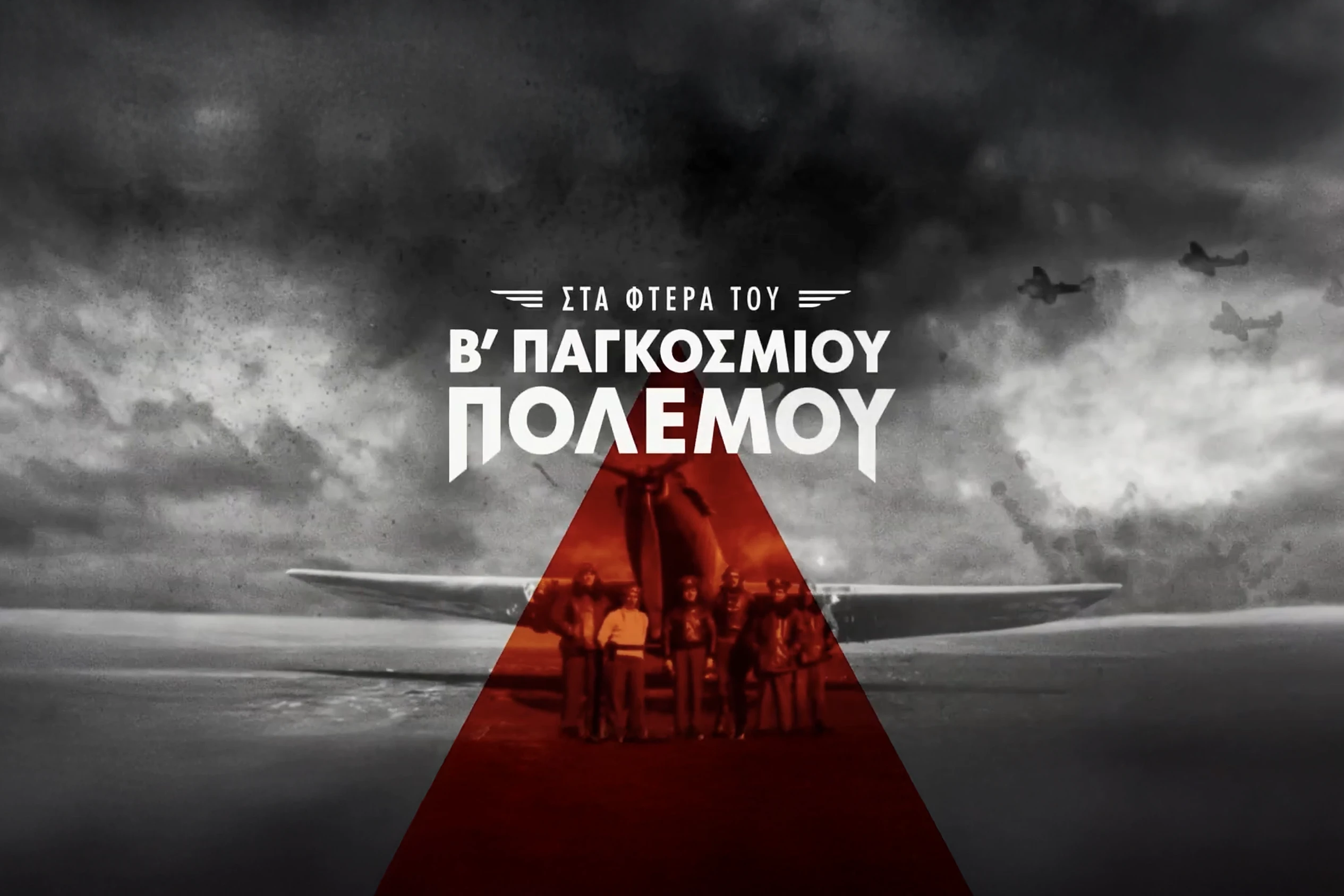
Cosmote TV commissioned the four-part series Wings of WWII (Στα Φτερά του Β’ Παγκοσμίου Πολέμου), exploring key events of World War II through the lens of air power, with a particular focus on the role of the Hellenic Air Force. The series was produced by Gullwing, which also created a related series on WWI in earlier years. With high production value and a large creative team, the project aimed to deliver both historical accuracy and strong visual storytelling.
Design Approach
Parallax Photography
A total of 60 archival photographs were animated using the parallax technique, adding movement and depth to black-and-white imagery from WWII. Files were delivered in layered format through the art director, with restored and upscaled source material. Subtle zooms, depth separation, and motion cues were used to bring static moments into the storytelling.
Animated War Maps
A total of 70 map sequences were created to visualize air battles, territorial changes, and movement across war zones. Each map was built and animated manually, allowing for precise camera control and layered geography.
—
3D Aircraft and Motion Effects
To enhance the animated maps, miniature 3D aircraft were placed as visual markers representing different nations. Each model was color-coded and textured with national emblems, then animated by hand to follow historical routes and battle paths. Trails and line animations were used to reinforce the direction and momentum of movements.
Integration and Accuracy
The animated material was integrated across all four episodes, often layered with voiceover and historical footage. Each 50-minute episode featured 5 to 8 animated map segments. Visuals were timed to narration and reviewed in collaboration with historians to ensure consistency, clarity, and accuracy.
Parallax Breakdown
Map Animation Breakdown
Outcome
The animated visuals helped clarify geographic references and timelines throughout the documentary, making the narrative more engaging and easier to follow. Animated sequences were used to clarify geographic references in the narration, including air campaigns over Albania, the defense of Crete, and strategic movements across Europe and North Africa. The series will broadcast with full production credits and stands as a continuation of Gullwing’s commitment to historically focused visual storytelling.
/ Related Projects